
An expert programmer named Alex Tingle decided to interpret the raw climate change data NASA was producing in 2015. He wanted to know what difference rising sea levels would make to the world’s legacy cities. His flood map largely bypassed attention because few could imagine ocean levels rising 65 feet / 20 meters. The SLIS Digital Humanities Project has dusted his work off.
Flood Map of Massive Global Warming Impact

Alex Tingle worked largely his own, armed with a wealth of data and a mapping application programming interface. He wanted people to know what could happen to their coastlines. Moreover, he felt a flood map would be simplest to grasp.
In the image opposite, almost all of Netherlands would be under water after a 65 feet / 20 meter sea level rise.
However, the raw data is incomplete because it does not account for tide or erosion. Moreover NASA limited its predictions to a 52 feet / 16 meter increase. Nonetheless there is no doubt the danger we face.
Venice would Be Gone Completely All That Glory Lost
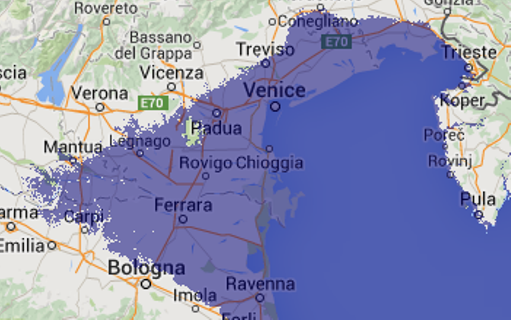
Legendary Venice is already under threat of regular inundation. It would be completely underwater after a 65 feet / 20 meter sea level rise. Will the city authority allow underwater tours, or will they draw a curtain across one of the greatest climate tragedies.
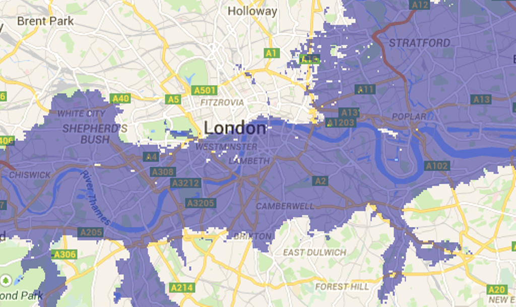
Even if the ocean only rose by 20 feet / 6 meters Washington would suffer with most of the National Mall under water. At 65 feet / 20 meters the Capitol Building and Washington Monument would rise out of a swamp. The center of London would be a lake with rivers and tides washing through.
Scientific American predicts sea levels will rise 7.5 feet / 2.3 meters per degree centigrade global warming increase. They will remain high for centuries, even if the nations take effective countermeasures soon.
Related
Will Climate Change End European Vacations
Earths Lungs are Straining in the Amazon
Preview Image: Washington After 65 Feet / 20 Meters


